Enernite Docs
Buildable Area Analysis
Buildable Area Analysis
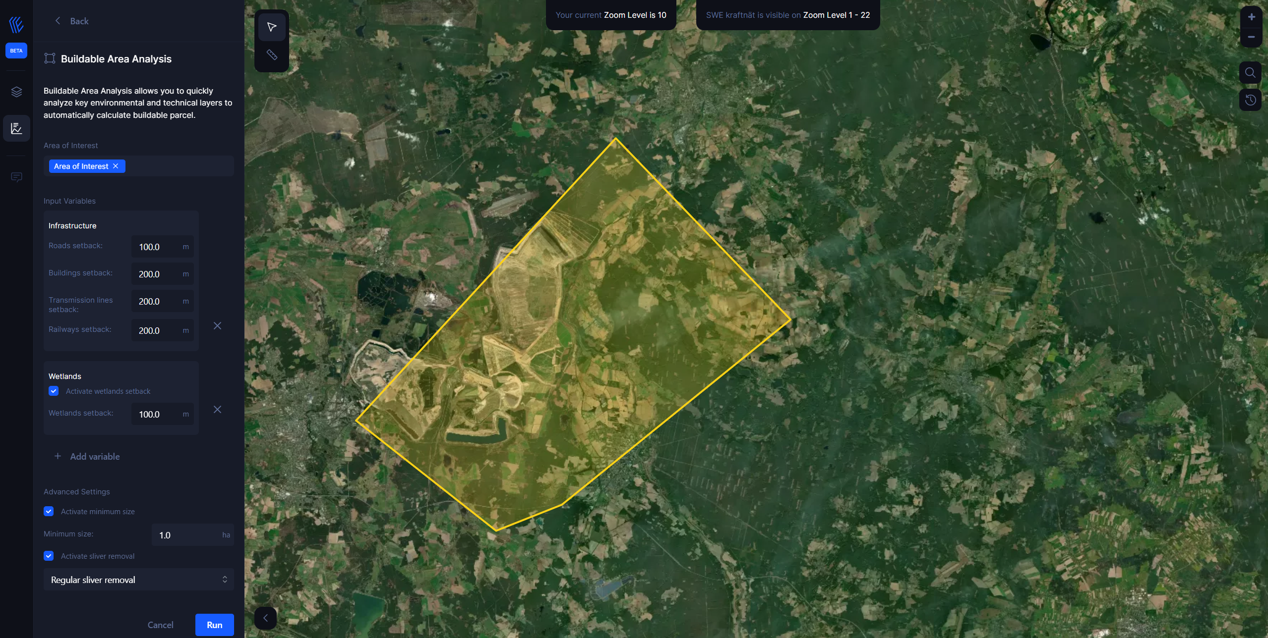
With the Buildable Area Analysis tool, users can easily generate constraint maps and determine the buildable area for a site, without requiring advanced GIS knowledge.
With this tool, you can:
1. Analyze environmental and infrastructure hazards/exclusions that impact a site's buildability, including:
- Natura 2000
- Emerald Network
- National Designated Areas (CDDA)
- Wetlands
- Flood
- Tree cover
- Infrastructure
- Critical habitats
- Public lands
2. Add custom setbacks around each hazard type (and internally from the property boundary) to maintain a buffer area around the hazard area itself. Setbacks will be included for any hazards outside the site area that impact buildable area within the site.

3. Using the constraint maps, users can easily identify hazard areas, exclusion zones, and areas suitable for development within the site.
4. Calculate buildable area for each parcel and/or site
Generally, the analysis for each parcel can be completed within a matter of seconds, though this processing time may vary. For larger projects with numerous parcels, the processing time may take a few minutes, but the tool should still be able to generate results relatively quickly.
How it works
The Buildable Area Analysis tool generates constraint maps and calculates the buildable area for a given site based on user-specified inputs. Users have the option to analyze various key datasets, such as slope, wetlands, flood zones, and more, and can customize the analysis parameters to generate constraint maps and calculations tailored to the specific project type and market requirements.
Apply internal property boundary setback (based on the general setback they input)
Analyze and mark hazards based on the hazard settings that the user activates
Mark setbacks around those hazards in line with the setback distances the user input for each hazard
Everything leftover after that is marked as buildable (there are some advanced settings where users can automatically remove 'slivers' of buildable land or other areas that are technically hazard-free but too small to build on).