Enernite Docs
Upload data
Upload data
Add Data
If you're not already in the map view, select Workspace from the top menu and enter a project.
To add data to the map in Enernite, follow the steps listed below:
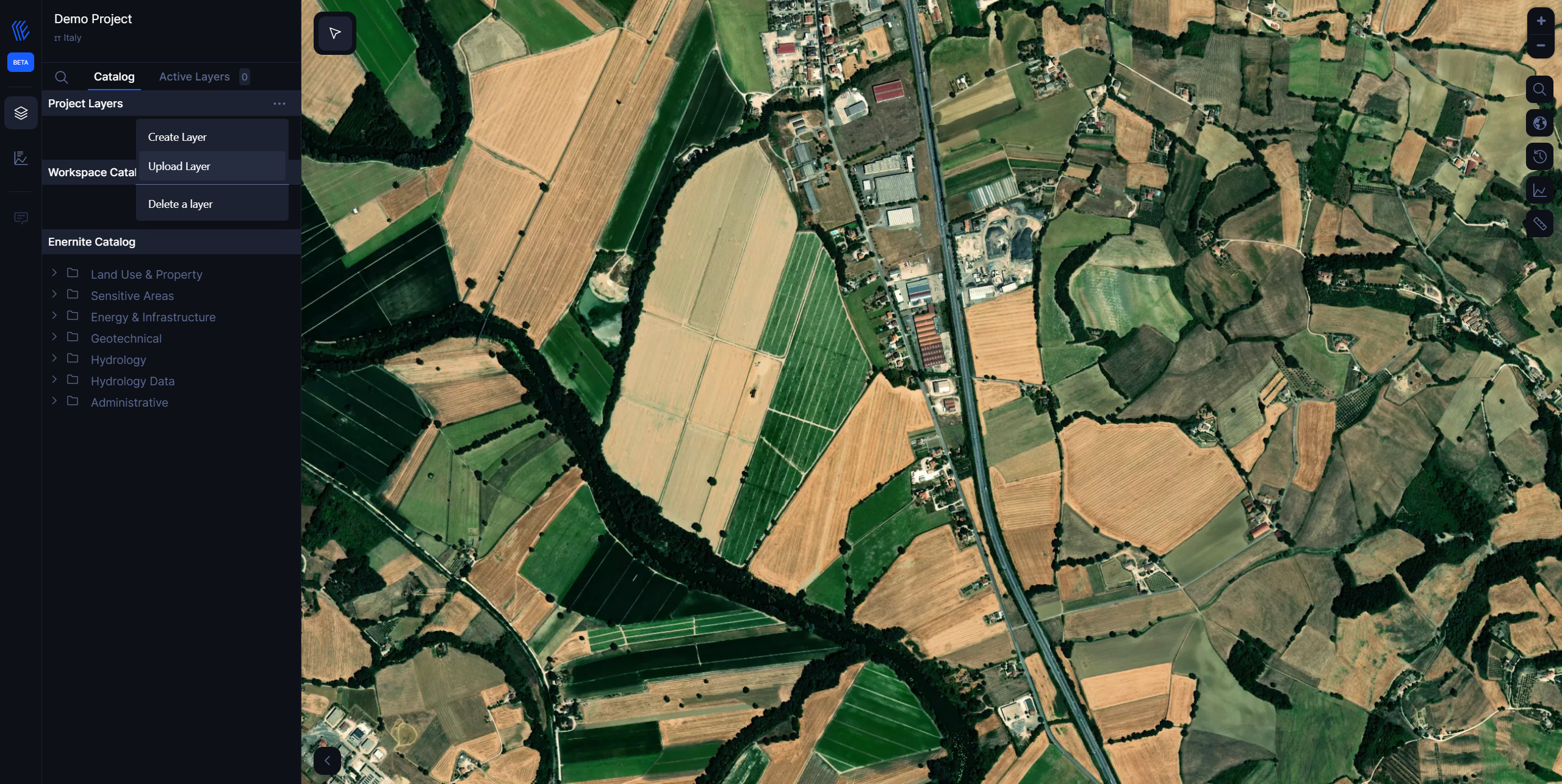
1. Select the Ellipsis icon (three dots) next to Project Layers on the left panel

2. Select Upload Layer
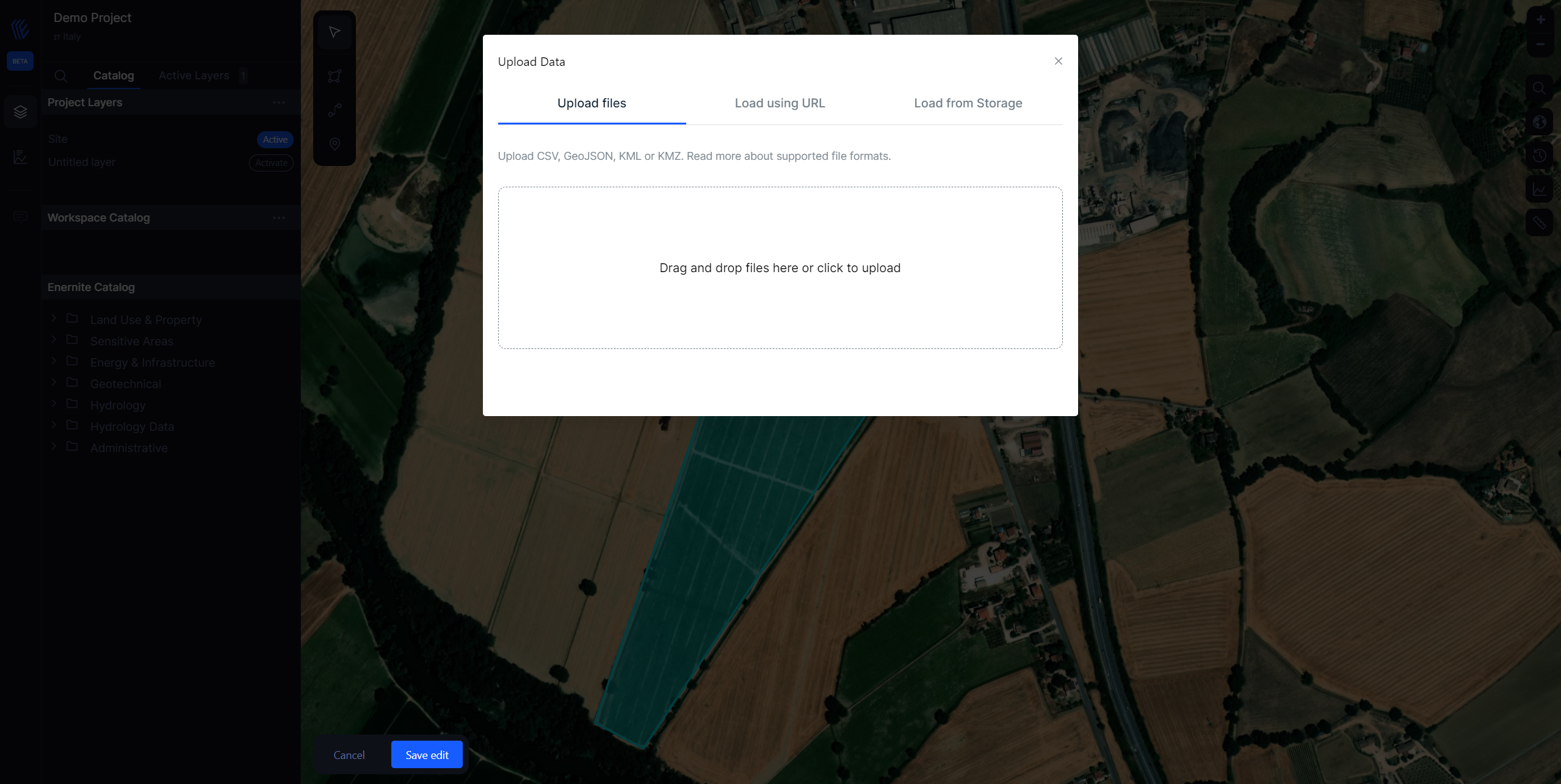
You should see the following prompt:

Choose one of three ways to add data to your map:
- Local files
- From URL
For datasets larger then 20mb you should load them into workspace data.
Supported Projection Coordinate System
Enernite only supports Web Mercator EPSG:3857 -- WGS84. Geometry coordinates should be presented with a geographic coordinate reference system, using the WGS84 datum, and with longitude and latitude units of decimal degrees.
Supported File Formats
- Geojson
- Geopackage
- ESRI Shapefile (zip)
- KML/KMZ