Enernite Docs
Slope analysis
Slope analysis
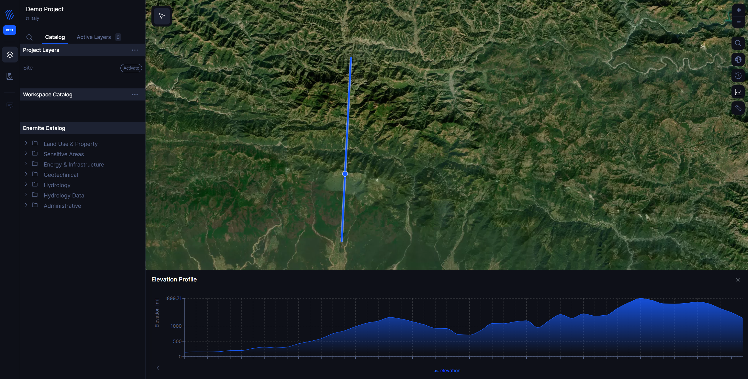
Explore the slope, elevation, and distance along a path.
1. In the top right toolbar, select the diagram icon, which reads Elevation profile.
2. Draw a path by selecting two points in the map.
3. An elevation profile will appear in the the lower half of the map viewer.
- The Y-axis of the chart displays the elevation, and the X-axis of the chart displays the distance.
- To see the elevation and distance at different points along a path, mouse over the path.
