Enernite Docs
Distance analysis
Distance analysis
Distance analysis is fundamental to most GIS applications. In its simplest form, distance is a measure of how far away one thing is from another. A straight line is the shortest possible measure of the distance between two locations.
If you're not already in the map view, select Workspace from the top menu and enter a project.
You can locate the tool by looking for the ruler icon in the top right corner.
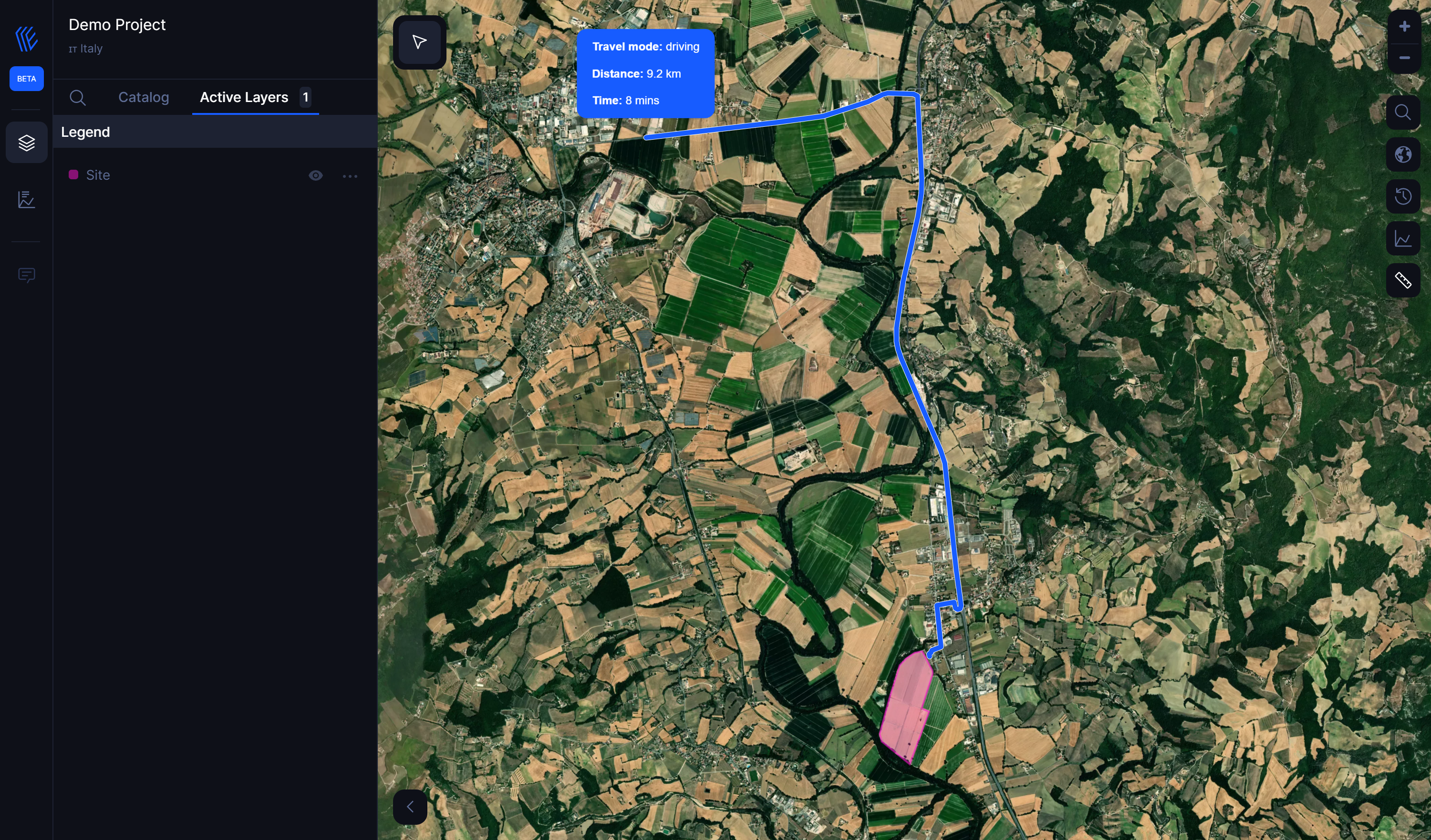
The Distance Analysis provides tools you can use to calculate distance for four different scenarios:
1. Air distance
2. Walking distance
3. Cycling distance
4. Driving distance
