Enernite Docs
Historical imagery
Historical imagery
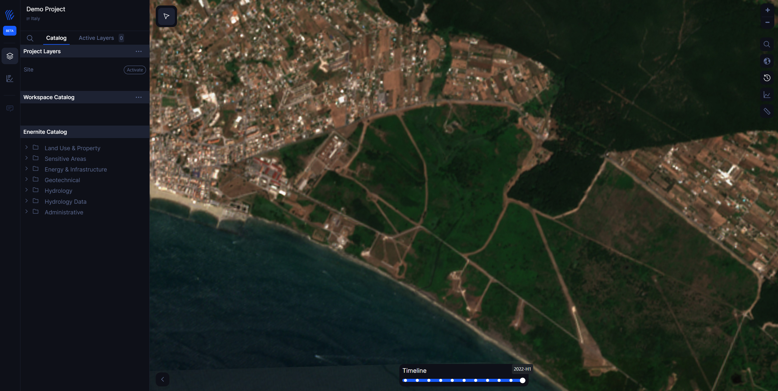
In the top right toolbar, select the clock icon, which reads Timelapse satelllite images.
A scrollable date selector appears at the bottom of the map. Scroll through the time and watch the map image change according to the date selected.
The satellite imagery is provided by the Copernicus Sentinel-2 mission which acquires optical imagery at 10m spatial resolution. The range of dates that can be accessed is from 2017 to 2023.
